North of Ullapool
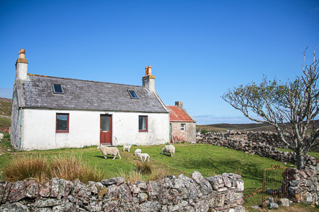
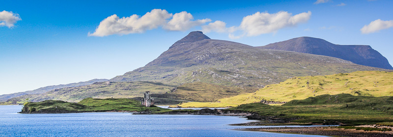
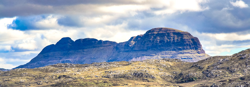
The road north of Ullapool takes the visitor back into a completely different landscape. Where Wester Ross is already remote and wild, Sutherland is even more so with its huge and strange shaped mountains such as Stac Pollaidh, Suilven and Canisp. The roads are quiet and the landscape is desolate but stunningly beautiful with big views, remote lochs and castles such as the ruin of Ardvreck Castle at Loch Assynt. West from Loch Assynt is the lovely village of Lochinver and you can make a beautiful detour over the single track road towards Stoer and further north to the Drumbeg viewpoint.
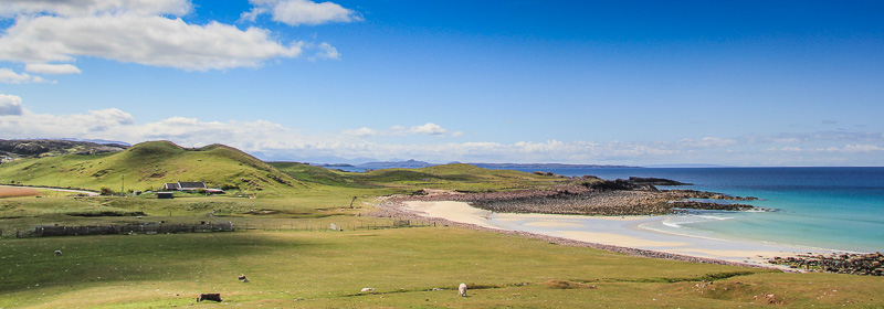
Further north is one of the most beautiful and remote beaches in the UK, the beach of Sandwood Bay. Two kilometers of deserted beach backed by dunes and with views towards a huge sea stack. The north-west tip of Scotland is called Cape Wrath, a wild and extremely remote part of the country. Durness is what you can call the end of the road north and offers all the facilities you need when travelling this part of Scotland.
Caithness
Caithness, the north easterly part of Scotland differs from the west. It’s not as mountainous as other parts of the Highlands and there is a lot more population. The Caithness landscape is rich with the remains of prehistoric occupation. These include the Grey Cairns of Camster, the Stone Lud, the Hill O Many Stanes, a complex of sites around Loch Yarrows and over 100 brochs. Thurso is mainland Scotland’s most northerly town, and home to the country’s most northerly railway station. Wick was originally a fishing town built around the harbour but nowadays the offshore industry plays an important role. Wick perhaps can be called a wee version of Aberdeen and the town also has an airport.
John o’Groats, at the northeasterly tip of Scotland, is popular with tourists because it is usually regarded as the most northerly settlement of mainland Great Britain. It is, though, one end of the longest distance between two points on the British mainland, Land’s End being the other and many cyclists take the challenge and cycle end to end. The actual most northerly point is near Dunnet Head. Further south is Helmsdale, a planned village with fishing as its main source of income.
Earlier we wrote about a fantastic tour covering the entire west coast and of course it also includes this stunning part of Scotland. It’s a bit like the north-coast 500 but our tour only covers the entire west of Scotland. Have a look at our Coastal Route here
Map of Sutherland and Caithness
 Further Information:
- Hotels in Highlands
- Guide to John o’Groats, Wick and Thurso
- Caithness and Sutherland Tourist Info
- Scottish Landscapes Image Gallery
- Abbeys and Castles Image Gallery
Recent Comments