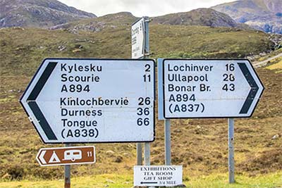
 Please find below a detailed map of Scotland which includes all the major and main roads, ferry routes as well as most cities and towns and even some of the smaller settlements. Despite the fact that most folk use smartphones it’s always handy to have a physical map at hand. Many places in Scotland have no mobile data network which means it can be hard to navigate without a physical map. You can print or download a copy of our Scotland Map below for your own use. Please note that there is a link below the map which opens the full version.
Related info
Stunning Driving Tours in Scotland – Driving Single Track Roads the Right Way – More Maps
If you are a smartphone user and use the Google Maps App you can easily download a section of their maps for offline use. You can find the download maps section in the app main menu.
I myself prefer the use of paper roadmaps when I’m on the road in Scotland as they have the best detailed information and they also work without a smartphone, or a phone with a dead battery, or when there is no internet connection. There are a few good quality paper roadmaps available, I recommend using the Philip’s Navigator Scotland: (A4 Spiral binding) or the Visit Scotland Touring Map. If you go for the highest detail in localised maps there is nothing better than the Ordnance Survey Landranger Maps. These maps are super detailed, are great for exploring areas and are perfect for when you’re walking too.
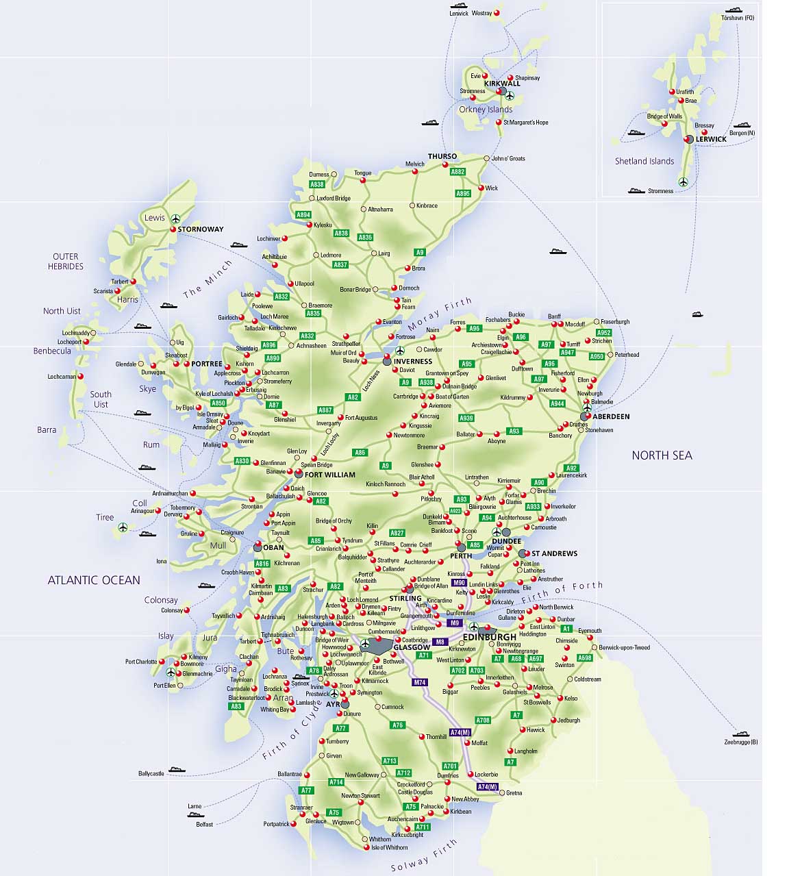
click this link for full version.

Recent Comments